Physical Address
304 North Cardinal St.
Dorchester Center, MA 02124
Physical Address
304 North Cardinal St.
Dorchester Center, MA 02124

Geospatial technology unlocks the power of location data. It goes beyond maps, using tools like GPS and GIS to analyze our world. This tech is used in farming, city planning, and disaster response. The future holds even more potential, with AI and citizen science on the rise. Explore it and be part of the geospatial revolution!

Have you ever looked at a map and marveled at the ability to pinpoint your exact location on a giant tapestry of the Earth? That’s the magic of geospatial technology at work. But geospatial technology goes far beyond maps – it’s about harnessing the power of location data to understand our world and solve real-world problems.
Think beyond the traditional map. Geospatial technology is all about capturing, analyzing, and visualizing data tied to geographic locations. It’s a vast toolbox that unlocks a deeper understanding of our planet, from landforms and ecosystems to demographics and infrastructure.
The world of geospatial technology is brimming with innovation, but let’s explore some key tools:
This familiar friend uses satellites to pinpoint your location on Earth, forming the foundation for many geospatial applications.
Imagine a powerful software program that integrates maps, data, and analytics. GIS allows us to visualize, analyze, and interpret geospatial information to uncover hidden patterns and trends.
Ever wondered what’s happening in remote areas or taken a peek at Earth from space? Remote sensing uses satellites and aircraft to capture images and data from the planet’s surface, revealing details invisible to the naked eye.
These flying machines are revolutionizing geospatial data collection. Drones can take high-resolution images and gather data from hard-to-reach areas, offering a valuable perspective.
Geospatial technology isn’t just cool – it’s making a real difference:
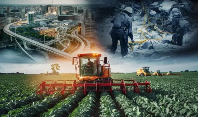
By analyzing soil data and crop health from satellites and drones, farmers can optimize resource use, maximize yields, and minimize environmental impact.
Cities are using geospatial data to design smarter infrastructure, optimize traffic flow, and plan for sustainable growth.
We can track deforestation, monitor pollution levels, and assess the health of our ecosystems using geospatial tools.
Real-time geospatial data plays a crucial role in disaster response. It helps identify areas of risk, assess damage, and coordinate relief efforts.
The future of geospatial technology is brimming with exciting possibilities:
Artificial intelligence and machine learning are supercharging geospatial analysis. By automating tasks and identifying complex patterns, AI can unlock even deeper insights from geospatial data.
Empowering everyone to contribute! Citizen science initiatives leverage smartphones and online platforms to collect geospatial data, creating a richer and more comprehensive picture of our planet.
Imagine everyday people contributing data on everything from potholes to park cleanliness. Crowdsourcing allows for the collection of vast amounts of geospatial data, offering a more nuanced understanding of our surroundings.
Curious about how you can get involved? Here’s a roadmap:
Numerous free and paid geospatial tools are available. Explore online resources and identify tools that match your specific needs and interests.
Don’t have a hefty budget? The good news is there are excellent free and open-source geospatial software options available.
Many online courses and tutorials can teach you the fundamentals of geospatial technology. With a little dedication, you can unlock valuable skills for various fields.
The world of geospatial technology is vast. Let’s delve into some specific examples to illustrate its power:
Unearthing the past! Geospatial tools like satellite imagery and LiDAR (Light Detection and Ranging) help archaeologists discover hidden settlements, map ancient sites, and understand past civilizations in greater detail.
Tracking disease outbreaks and ensuring healthcare access is crucial. Geospatial analysis helps identify areas with high disease prevalence, optimize ambulance deployment, and target healthcare resources effectively.
Location data is gold for businesses! By analyzing customer demographics and foot traffic patterns, businesses can optimize marketing strategies, target ideal locations for new stores, and gain a competitive edge.

Like any powerful tool, geospatial technology comes with ethical considerations:
Location data can be very personal. It’s important to ensure responsible data collection practices and prioritize user privacy.
Not everyone has equal access to geospatial technology. Bridging the digital divide is crucial to ensure everyone can benefit from this powerful tool.
Ready to embark on your geospatial adventure? Here are some valuable resources to get you started:
Platforms like Coursera, EdX, and Udemy offer a variety of online courses and tutorials on geospatial technologies, from introductory levels to advanced specializations.
Joining professional organizations like the American Association for Geographic Information Systems (AAGIS) or the Urban and Regional Information Systems Association (URISA) connects you with a network of experts, career opportunities, and professional development resources.
Explore free and open-source geospatial software like QGIS or GRASS GIS. These powerful tools allow you to experiment, develop your skills, and contribute to the open-source community.
Numerous citizen science projects leverage geospatial data collection. Participating in these initiatives allows you to contribute to real-world research while gaining valuable experience.

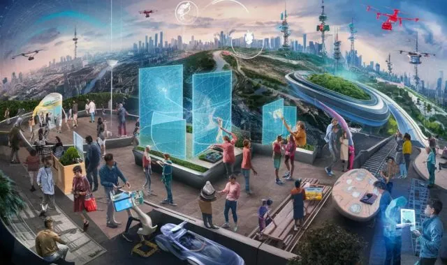
Geospatial technology is transforming the way we interact with our world. It’s a powerful tool for problem-solving, innovation, and creating a more sustainable future. So, dive in, explore the possibilities, and harness the magic of location data to make a positive impact!
Geospatial technology is a broad term encompassing all tools, techniques, and technologies used to capture, analyze, and visualize data tied to geographic locations. It’s essentially about understanding the world through the lens of location.
Provides your precise location on Earth using satellites.
Powerful software that integrates maps, data, and analytics for geospatial insights.
Uses satellites and aircraft to capture images and data from the planet’s surface.
Flying machines that collect high-resolution images and data from hard-to-reach areas.
Here are just a few examples:
Optimizes resource use and maximizes crop yields.
Designs smarter infrastructure and plans for sustainable growth in cities.
Tracks deforestation, pollution levels, and ecosystem health.
Many free and paid tools are available.
QGIS and GRASS GIS are popular choices.
Online courses and tutorials can teach you the fundamentals.
Where can I find more information?
Coursera, EdX, Udemy
AAGIS, URISA
QGIS, GRASS GIS
Numerous projects exist online